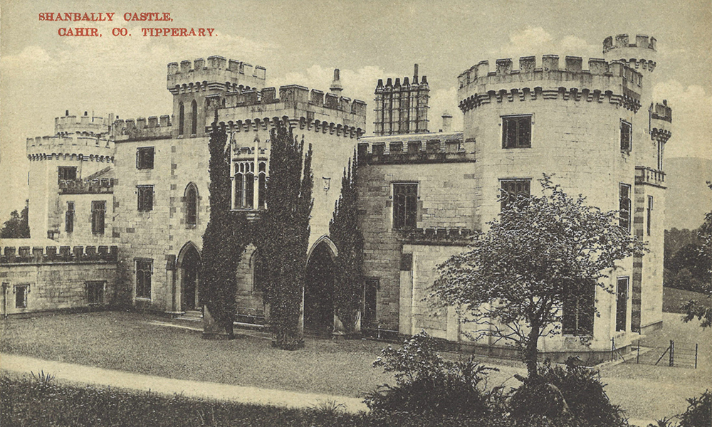
Connecting cartographic collections through place and time
New interactive online resource highlights a corpus of nine maps from the collection, collectively known as ‘The Looney Map’ of Tipperary
Detail of Lough Derg on the borders of counties Clare and Tipperary (1830)
Townland map of Ballyboy, Co Tipperary (1740)
Townland map of Flemingstown, Co Tipperary (1815)
Townland map for Lisnatubbrid, Co Tipperary (1726)
Townland map of Lower Tyraheen, Co Tipperary (1812)
A collection of particular interest to genealogical, historical and cultural researchers (1715–1948)
T&L funding awarded to department to develop teaching resource in collaboration with UL History department
Cookie | Duration | Description |
---|---|---|
cookielawinfo-checkbox-analytics | 11 months | This cookie is set by GDPR Cookie Consent plugin. The cookie is used to store the user consent for the cookies in the category "Analytics". |
cookielawinfo-checkbox-functional | 11 months | The cookie is set by GDPR cookie consent to record the user consent for the cookies in the category "Functional". |
cookielawinfo-checkbox-necessary | 11 months | This cookie is set by GDPR Cookie Consent plugin. The cookies is used to store the user consent for the cookies in the category "Necessary". |
cookielawinfo-checkbox-others | 11 months | This cookie is set by GDPR Cookie Consent plugin. The cookie is used to store the user consent for the cookies in the category "Other. |
cookielawinfo-checkbox-performance | 11 months | This cookie is set by GDPR Cookie Consent plugin. The cookie is used to store the user consent for the cookies in the category "Performance". |
viewed_cookie_policy | 11 months | The cookie is set by the GDPR Cookie Consent plugin and is used to store whether or not user has consented to the use of cookies. It does not store any personal data. |